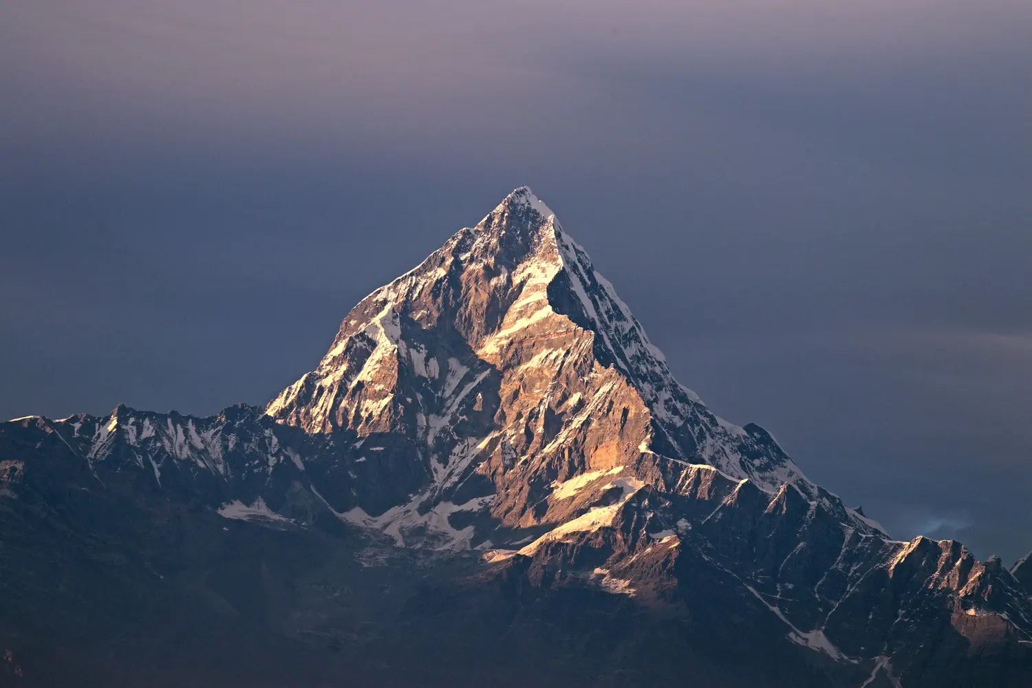
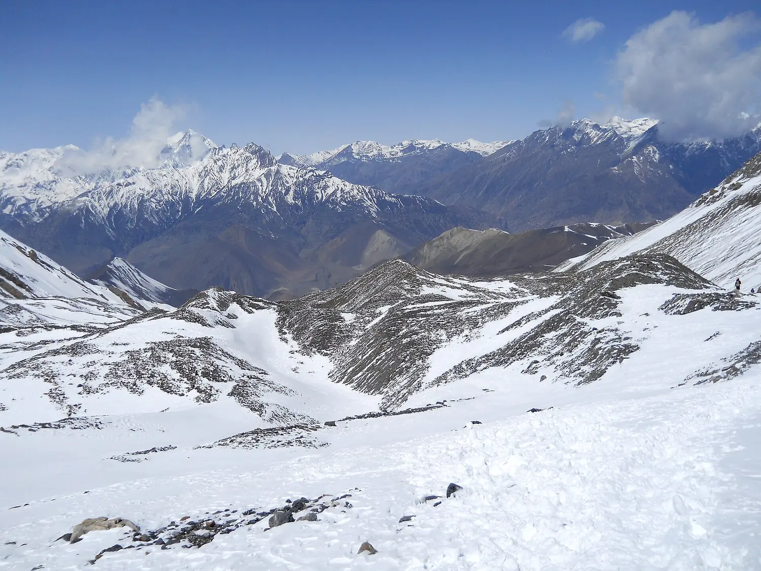
Limi is a remote Trans-Himalayan Valley in north-west Nepal bordering Tibet. It consists of three villages: Til (4100 m elevation) in the west; Jhang (3930 m) in the east; and the biggest village, Halji (3700 m), in the middle. These three villages are situated on the banks of the Karnali river.
Limi has a cold semi-arid climate according to the Köppen-Geiger climate classification. Summers are short and rainfall very sparse. Winter is marked with regular snowfall.
Limi is a remote Trans-Himalayan Valley in north-west Nepal bordering Tibet. It consists of three villages: Til (4100 m elevation) in the west; Jhang (3930 m) in the east; and the biggest village, Halji (3700 m), in the middle. These three villages are situated on the banks of the Karnali river.
Limi has a cold semi-arid climate according to the Köppen-Geiger climate classification. Summers are short and rainfall very sparse. Winter is marked with regular snowfall.
Day-by-day itinerary
Arrive in Kathmandu. (1335 meters) A representative from Nepal View Trekking Pvt. Ltd. trekking with the company’s display board will greet you outside the arrival terminal and transfer you to your Hotel.
Sightseeing and Trek Preparation. A half day guided tour to several of historical and spiritual attractions enlisted under the World Heritage Sites. The trek leader will meet the group for a meeting and provide a detailed briefing on the trek. All the required information regarding the trek would be
Fly to Nepalgunj. Fly to Nepalgunj, one of the major city of the southern part of Nepal. The city is very hot and humid and a different experience than Kathmandu.
Fly to Simikot (2950 meters) Simikot is a scenic flight of 45 minutes away from Nepalgunj. Simikot airport is a typical Nepali mountain airport and the village itself is one typical nepali mountain village.
Trek to Dharapuri (2300 meters) An hour climb leads to pass and another hour of steep drop leads to Majgaon. Now the trail stays comfortable and undulates for the next couple hours and leads to Dharapuri. (4 hours)
Trek to Kermi (2670 meters) This is a short day as the trail undulates but continuously follows Karnali River all the way up to Kermi. There are hot springs nearby the village, where an leisurely afternoon can be enjoyed. (3 hours)
Trek to Yalbang (3020 meters) The first couple of hours of the day is on comfortable terrain but consistently gains elevation and reaches a small pass. A steep descent leads to suspension bridge and leads through the forest to Yalbang. (5 hours)
Trek to Tumkot (3380 meters) The trail leaves Karnali river and climbs towards Yangar. After Yangar, the trail gets a bit rocky and goes on to cross Karnali once again on a wooden bridge. A climb follows and after a good couple of hours, gets to Muchu. Another hour finally leads to Tumkot. (5 hours)
Trek to Yari (3700 meters) Most part of this day is spent climbing and includes some steep section as well. In more than 3 hours, the trail passes through Pani Palwang and then in less than 2 hours the day ends at Yari.
Cross Nara La (4620 meters) and trek to Hilsa (3720 meters) Cross Nara La (4620 meters) A hard day as the trek today passes a 4600 meters Nara La. It takes around 4 hours to get to the top another 2 hours of steep descent to Hilsa.
Trek to Manepeme (3990 meters) The day starts with a crossing of yet another bridge and another climb for a short period. Afterwards, the trail continuously undulates and follows the Karnali River all the way upto Manepeme. (5 hours)
Trek to Til (4000 meters) Another climb of around 4 hours takes to Lamka La at 4300 meters. A detour en route to the pass leads to a medication cave. From the pass, it takes another one and half hours to the village of Til. Vegetations can be observed once again at Til. (6 hours)
Trek to Halji (3660 meters) An easy and very short day to Halji. The terrain is slightly uphill but still very comfortable throughout the day. (3 hours)
Trek to Jang (3930 meters) Another easy day follows as it takes only 4 hours following the Limi River to get to Jang. (4 hours)
Trek to Talung (4370 meters) One of the two hardest day of the trek and also marks the treks entrance into the wild. There are no more villages and civilization for the next couple of days. However, the trail is quite steady but gradually keeps climbing the whole day. (8 hours)
Cross Nyalu La (4949 meters) and trek to Shinjungma (3620 meters) The hardest day of the trek but the best day for the views. A very tough and hard uphill climb of around 5 hours takes to the 4900 meter Nyalu La. Stunning 360 degrees view with views of Tibet can be enjoyed at the top. The holy mount
Trek to Talung Kermi (2670 meters) A steep drop leads to Sali Khola, which goes on to meet Karnali River again and finally to Kermi. (7 hours) Day 18: Trek to Talung Simikot (2950 meters) The trek retraces the same way back to Simikot. (6 hours)
Fly to Nepalgunj and continue to Kathmandu. We take the early flight to Nepalgunj and connect with an onward flight to Kathmandu
Free day at Kathmandu. A leisure day in Kathmandu which can used for an early morning mountain flights to Everest or can extended into further more tours to Nagarkot, Dhulikhel etc. Further adventure activities like rock climbing, hiking, biking around the Kathmandu valley with bungee jumping, rafti
Departure. A representative from Nepal View Trekking Pvt. Ltd. will check your flight tickets and transfer you to the airport before two hours from your flight with a hope of seeing you again in the future. (Breakfast included) ALL ITINERARIES CAN BE CUSTOMIZED AT YOUR REQUESTS ACCORDING TO YOUR CON
This itinerary can be customised to your dates, fitness and length of stay in Nepal. Tap any day to read more.